
Directory
Topographic maps by region
From continent through country and region down to the single city – every level with its own, suitably cut topographic map extent.
- Worldwide
- Contour lines & relief
- Hillshading
- Free, no sign-up
Map views
World map in other views
Same extent, different rendering.
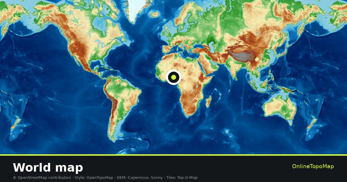
World map in the landscape
The tiles lead to the continents and from there on to countries, regions and cities.
The map uses the classic topographic look: contour lines, hillshading, water bodies, woodland and built-up areas, together with the path and road network.
Continents
Choose a continent
Countries
Countries in the directory
Open the world map
Contour lines, hillshading and relief in the full map.