
Topographic map of Ślęża
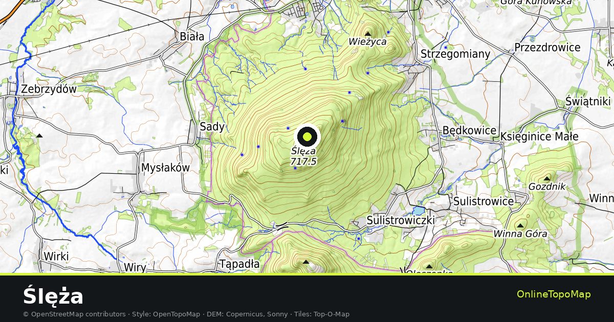
Ślęża on the topographic map. A peak in Poland, 718 m high. Contour lines, hillshading and the path network in the familiar OpenTopoMap style, with the extent already set.
- Peak
- 718 m
- Poland
- Contour lines & relief
- Free, no sign-up
Ślęża in other views
Same extent, different rendering.
Ślęża in the landscape
The extent is centred on the summit; zoomed out, the map shows the ridges and valleys around it.
The elevation is given as 718 m. Figure and coordinates come from Wikidata.
The map uses the classic topographic look: contour lines, hillshading, water bodies, woodland and rock faces, together with the path and road network.
The 10 nearest cities
Straight-line distance from the centre of this page. Places without their own page open the full map at the matching spot. Only cities with more than 100,000 inhabitants are listed (selection from the OpenStreetMap data).
Peaks and passes nearby
The best-known peaks and passes within this map extent. Names, elevations and coordinates from Wikidata; where elevations disagree, only the name is shown.
Ślęża in the full map
Contour lines, hillshading and relief – free, no sign-up.